Featured Projects
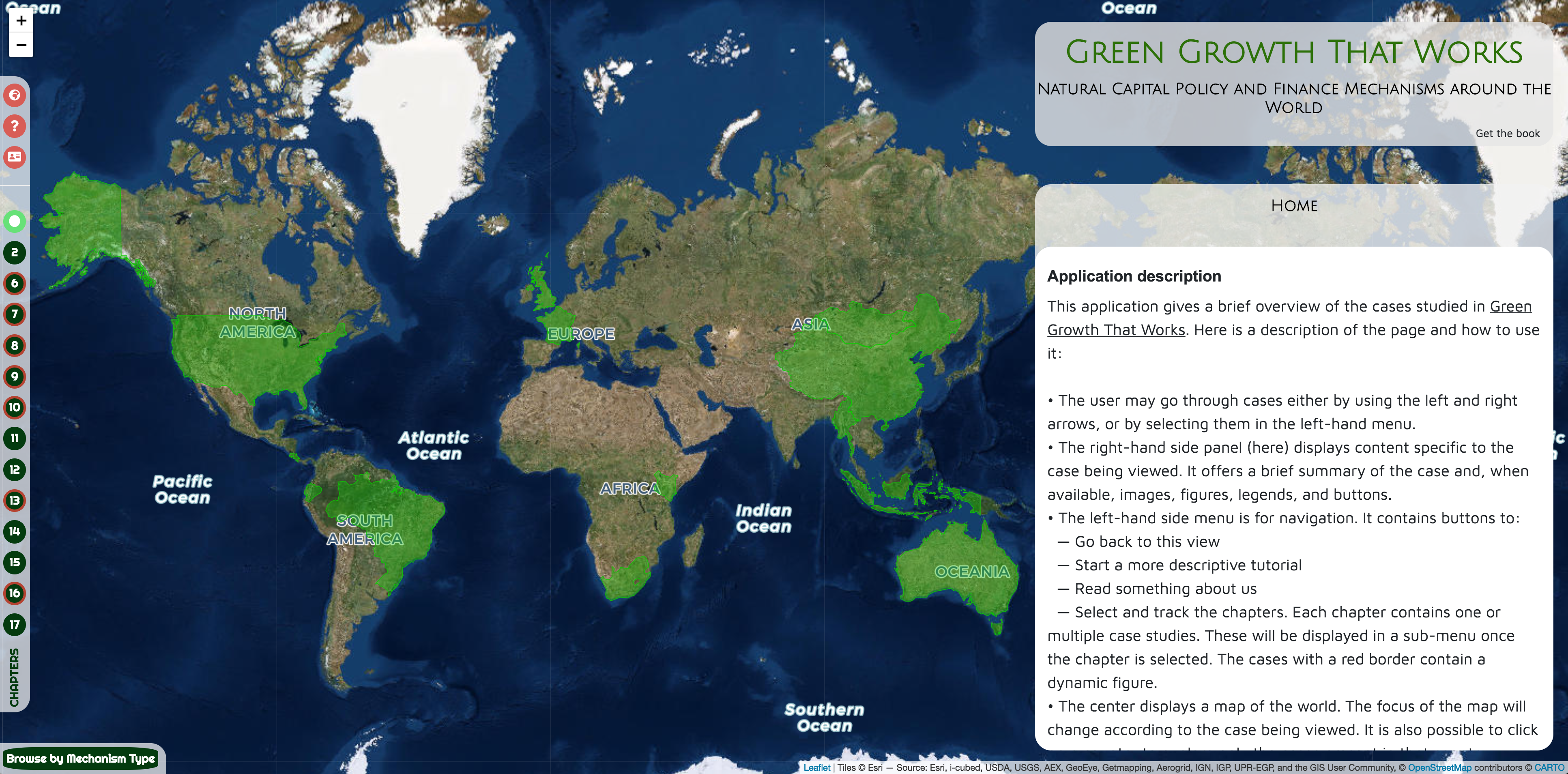
Green Growth around the World
Mainstreaming finance and policy mechanisms from around the world, this book gathers case studies of Green Growth that works. Get the book or discover the stories through interactive map of examples.
Mapping Natural Capital
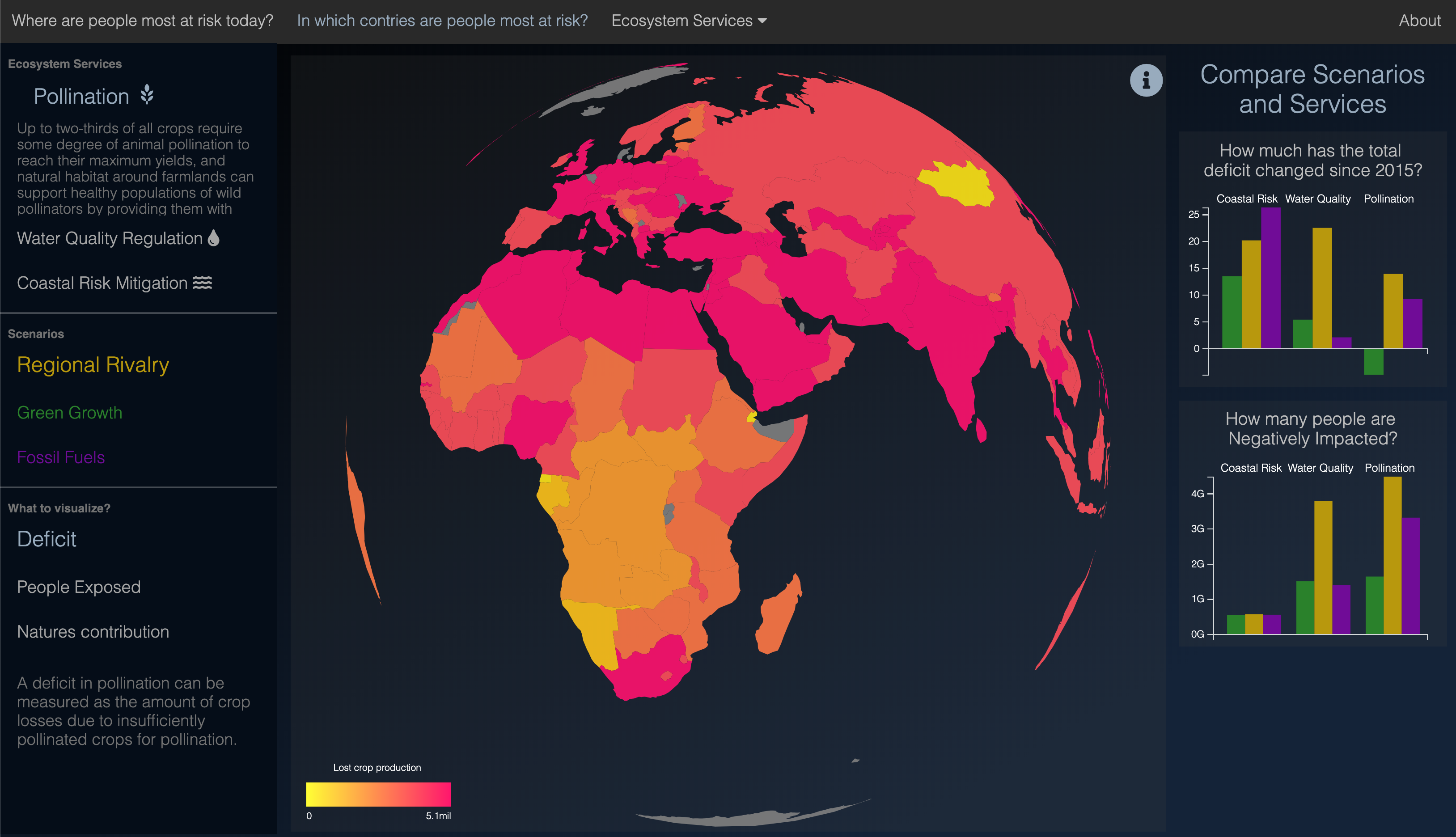
In the context of UN’s IPBES’ Global Assessment of Ecosystem Services, we’ve mapped key Nature’s Contribution’s to People : Pollinators’ contribution to feeding the world, Coastal habitat protecting shorelines from floods and storms and Water quality improved by pollution retention in soils. Read the paper and explore results on the viewer.
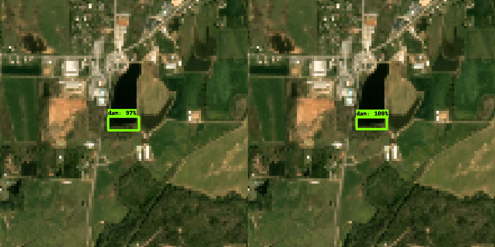
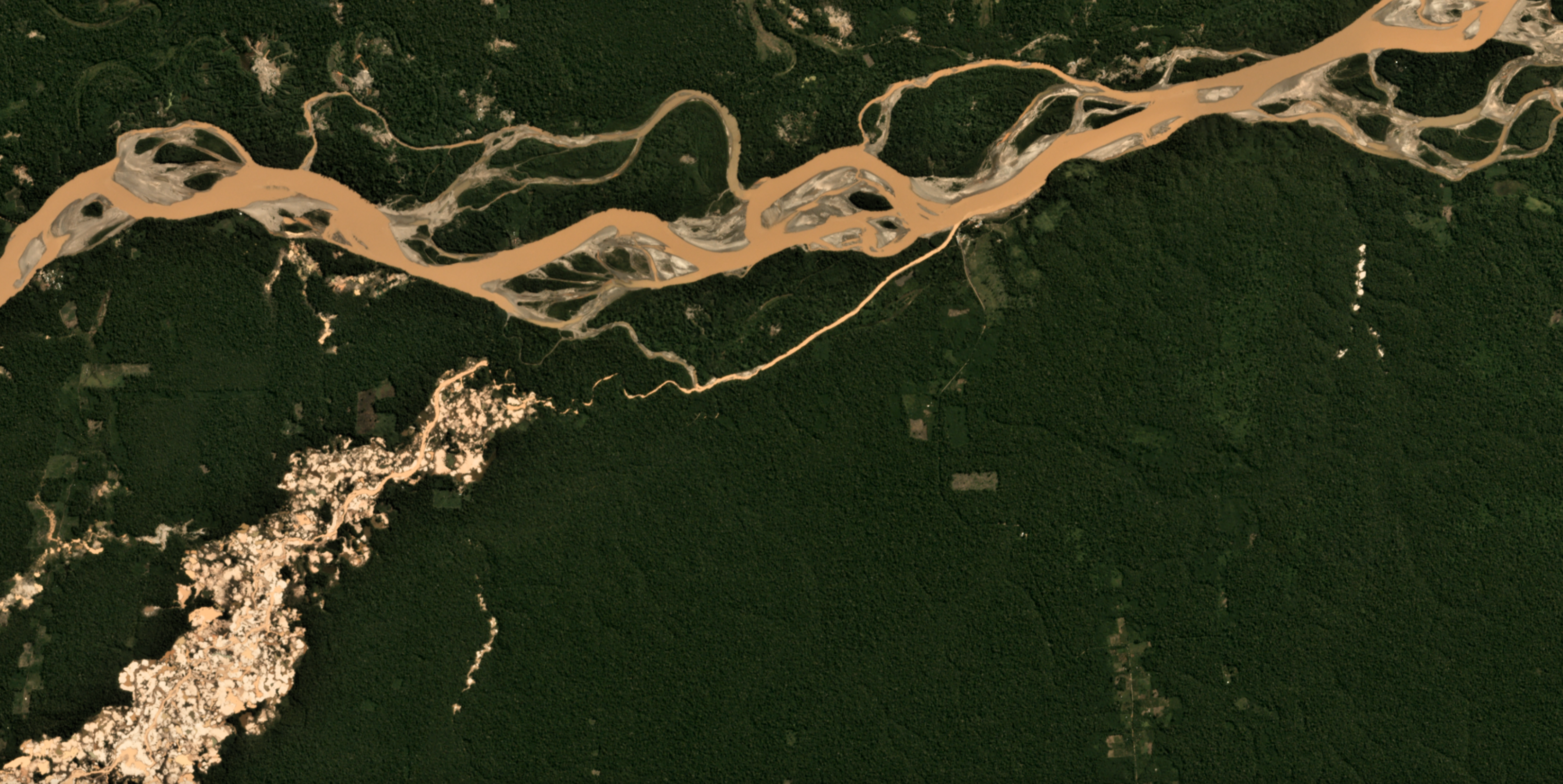
Locating Dams from Space
Dams have tremendous impacts on habitats, and the vast majority of them aren’t mapped in globally available datasets. Thanks to deep learning computer vision algorithms, and fine-resolution satellite imagery, we can probably find them! Prototype {Work in progress}
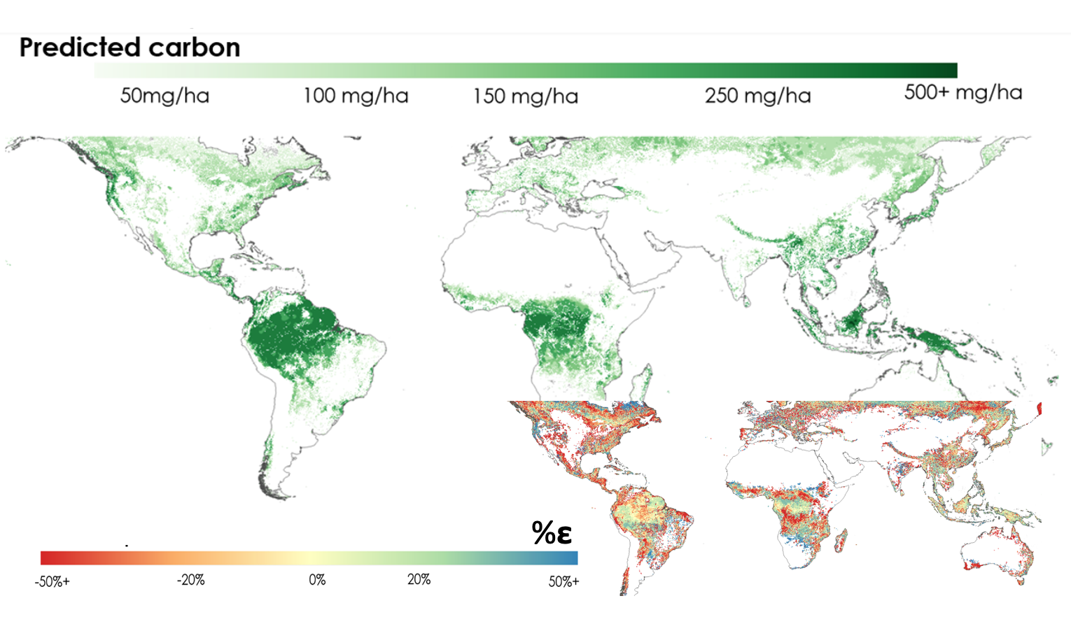
Forest Carbon Storage Modeling
Carbon storage is on average 25% lower in tropical forest edges than interiors, yet we don't fully understand why. Machine learning allow us to investigate a broader set of possible drivers - both anthropogenic and natural - at a finer spatial resolution than ever done before, informing how to stop this degradation. {Paper in the works}
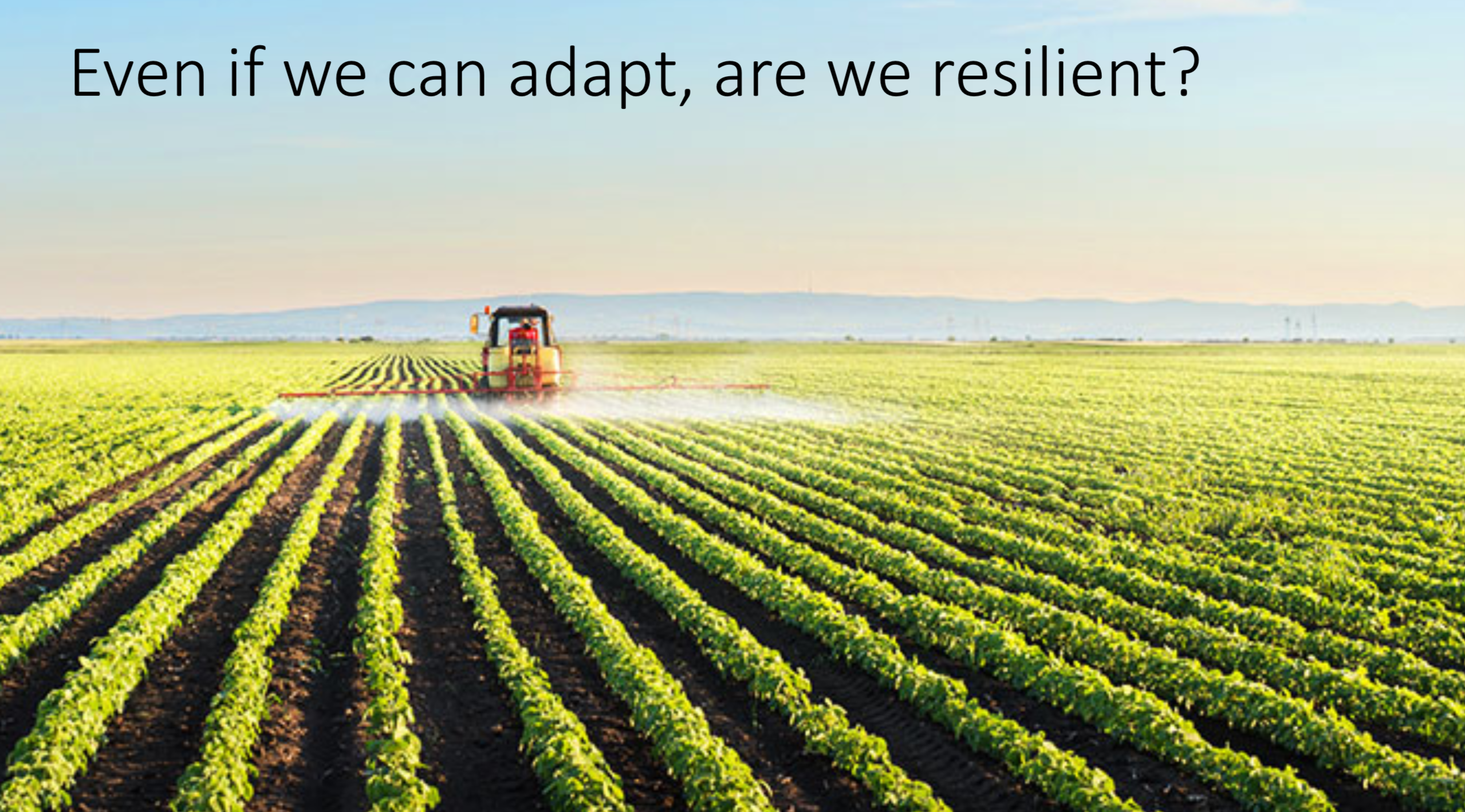
Forecasting Future Food Sufficiency
Using machine learning to predict crop yields in 2050, we explore future caloric sufficiency under scenarios of climate and societal changes.
Read the preprint.{Paper in review}
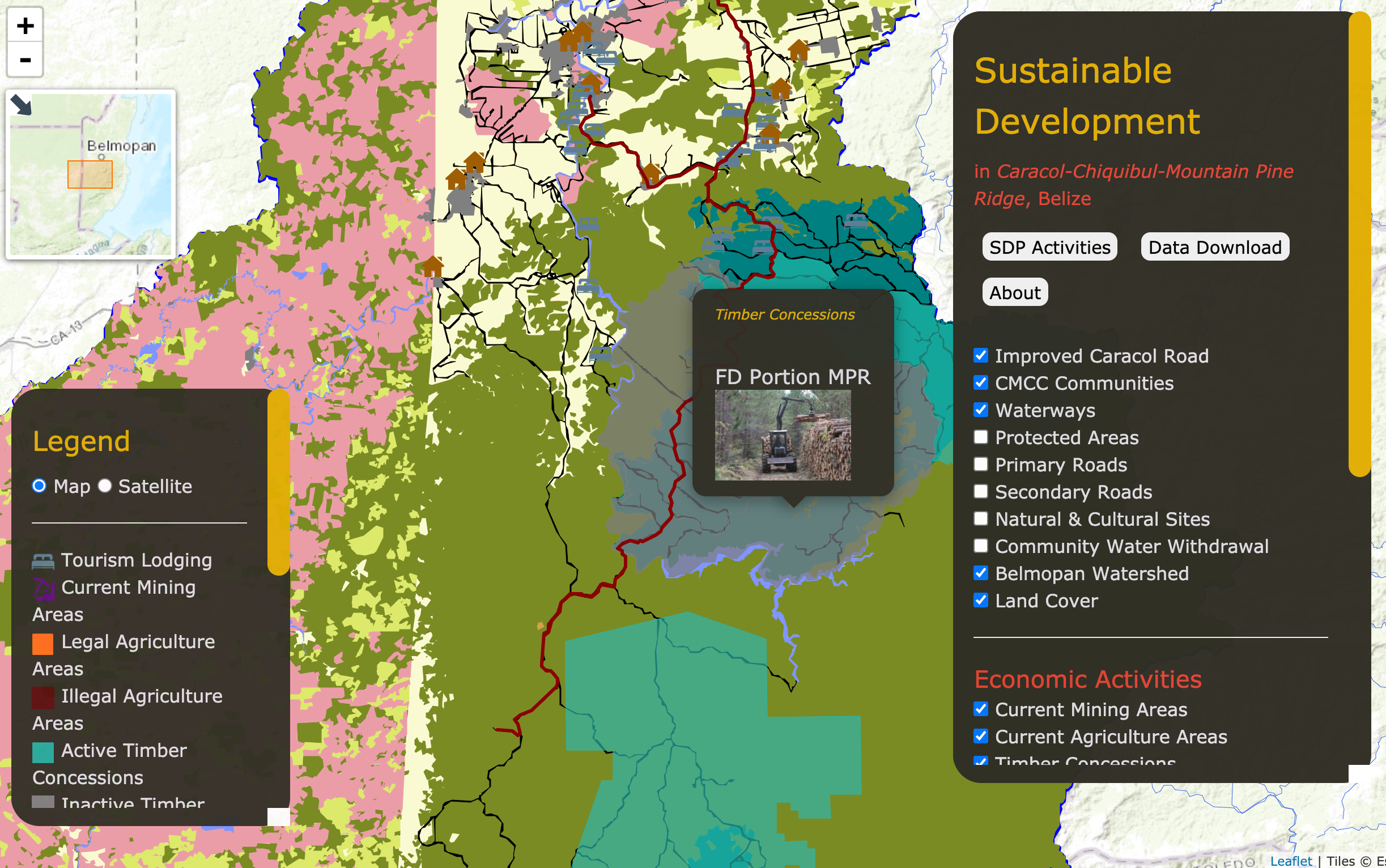
Sustainable Development Plan, Belize
State-of-the-art ecosystem services mapping and analysis in the context of planning major extension of the Caracol road, across the Caracol-Chiquibul-Mountain Pine Ridge region. Our interactive map provides an overview of the stakeholder-driven data, interests, values, and knowledge.
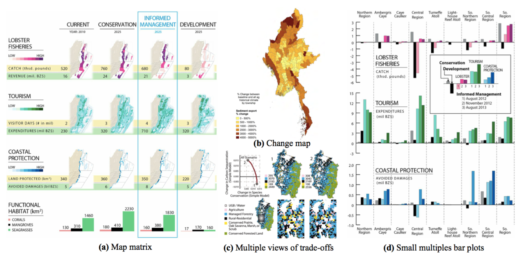
Natural Capital Data Visualization
NatCap's Visualization Gallery! Particularly proud to have contributed a strategic guide to communicate Ecosystem Services data and a viewerTemplate for webmapping. And always reflecting on the usefulness of webmaps for decision-making...
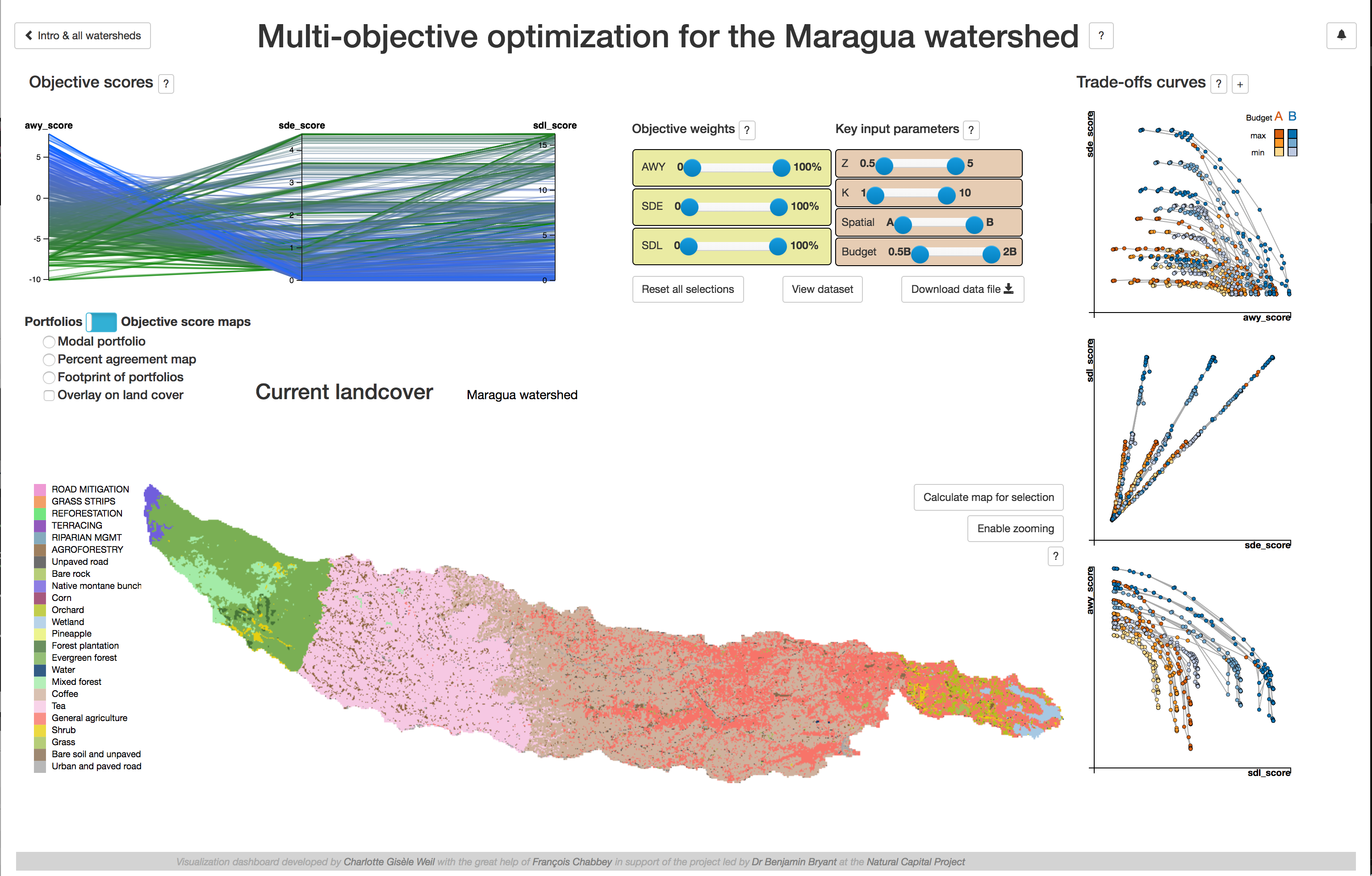
Tana’s Multi-Objective Decision Tool
In Nairobi, Kenya, the Upper-Tana Water Fund has a triple objective: (1) to maximize water yield serving the city's water supply and hydropower needs, (2) to minimize sediment export to streams which decrease water quality, as well as (3) soil erosion which reduces agricultural productivity. Understanding and visualizing the trade-offs is key to a optimize between competing objectives.
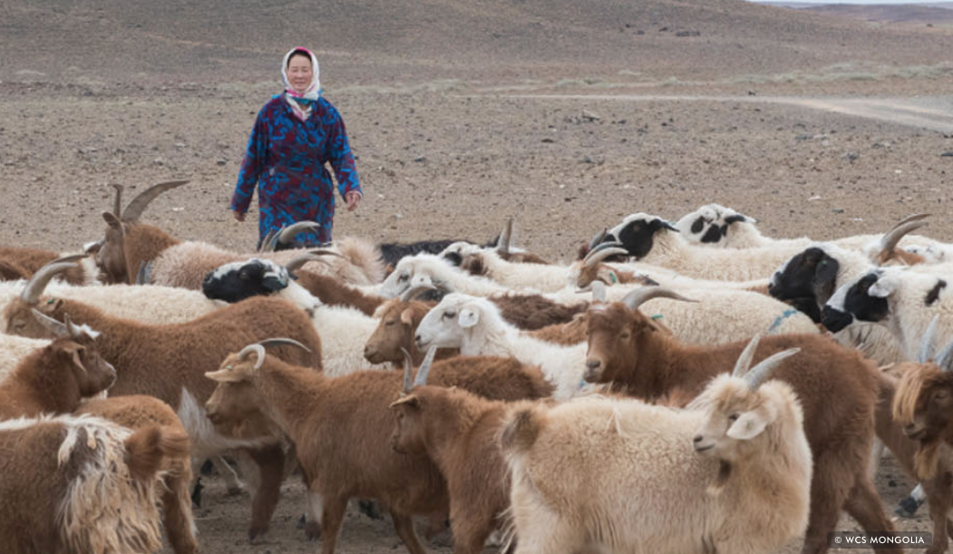
Ecosystem Services in Mongolia's Gobi Steppe
In collaboration with WCS, we hosted NatCap's first fully virtual training & hackathon and developped ecosystem services models for Rangelands production, as well as Wind Erosion (ongoing).
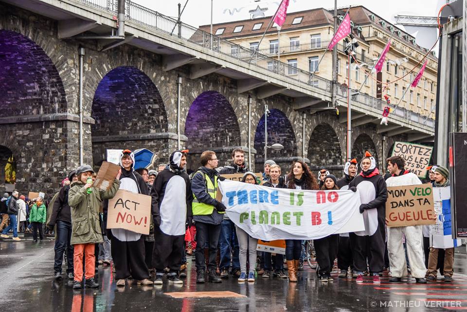
Volunteering
Sustainability groups, climate marches, scientific expedition on marine plastic pollution, sustainable tourism organisations… In a previous life, I was a better person and a climate activist.

Circus
My side career as an aerialist x)
Press & Publications
Selected Publications
Peer-reviewed
Books
Blog posts
White papers & Conferences
Where I work(ed)
Since Fall 2020 : Lausanne, Switzerland
ENAC-IT4Research , École Polytechnique Fédérale de Lausanne
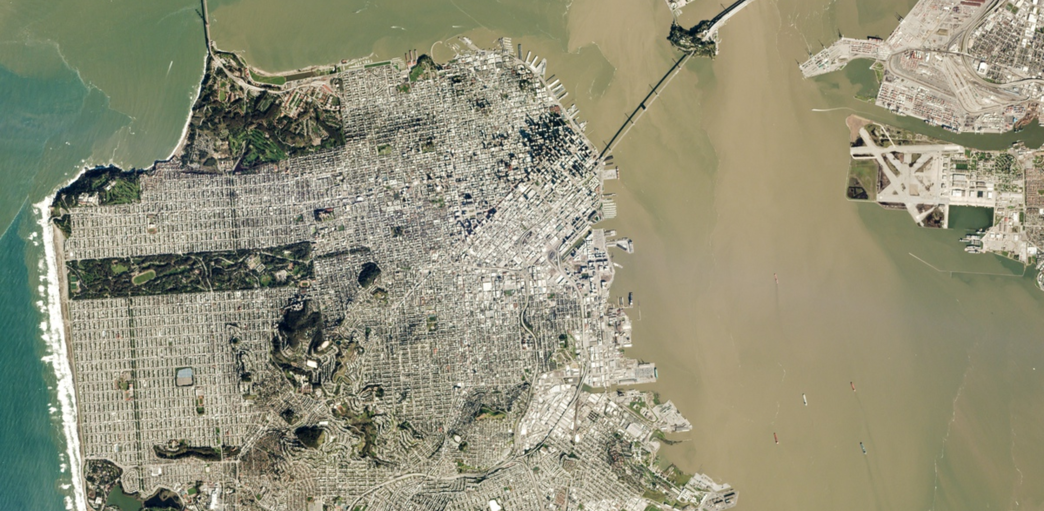
2016 - 2020 : San Francisco, California
The Natural Capital Project , Stanford University